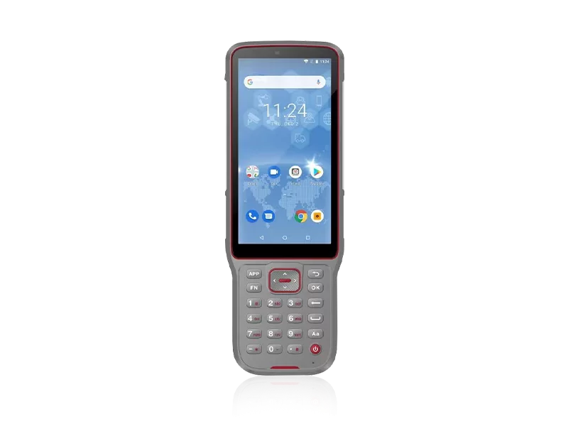
Locating reliable groundwater reserves in complex geological formations is a high-stakes endeavor. Blind drilling, inaccurate aquifer mapping, and equipment failure in harsh environments not only drain project budgets but also cause critical delays. Hydrogeologists and drilling contractors face the constant pressure of interpreting ambiguous subsurface data while dealing with instruments that cannot withstand punishing field conditions. The fundamental challenge lies in finding a technological solution that bridges the gap between high-precision mapping and rugged field endurance.
Our mission is to make surveying easier, a commitment we have upheld since our establishment in 2016. By deeply integrating high-precision measurement technologies, we engineer solutions designed to eliminate the guesswork from groundwater exploration. Understanding the rigorous demands of the field, we proudly maintain an ISO 9001 certified manufacturing ecosystem. This ensures that every instrument is subjected to strict pre-production sampling and rigorous final inspections before deployment.
When operations take you to the most remote corners of the globe, having dependable technology is only half the equation. Our extensive distribution network, spanning over 10 countries with dedicated technical branch offices in the USA, Dubai, India, and South Africa, guarantees that your operations are continuously supported. With a professional sales and support team bringing an average of 5 years of specialized experience, we provide localized, rapid-response solutions to ensure your subsurface exploration never halts.
Precision in geophysical mapping demands uncompromising technical standards. To accurately detect aquifer depths, water quality, and geological fault lines, hardware must perform flawlessly under extreme stress. We dedicate 10% of our annual revenue directly into Research & Development, ensuring our spatial and subsurface measurement technologies remain at the forefront of the industry. Below is a breakdown of how our core engineering benchmarks directly enhance hydrogeological surveying.
| Performance Metric | Industry Significance | Our Engineering Standard | Advantage |
|---|---|---|---|
| Environmental Resilience | Groundwater surveys often occur in wet, muddy, or highly dusty terrains. | IP67 / IP68 Ruggedness | Total protection against water immersion and micro-dust, ensuring uninterrupted data collection in severe weather. |
| Manufacturing Precision | Inconsistent hardware leads to anomalous resistivity readings and false aquifer targets. | ISO 9001 Quality Control | Strict pre-production and final shipment inspections guarantee consistent, reliable hardware performance straight out of the box. |
| Technology Innovation | Subsurface data resolution determines the success rate of test wells. | 10% Annual R&D Reinvestment | Access to cutting-edge sensor integration and high-precision mapping capabilities for clearer geological inversion models. |
| Deployment Scalability | Large-scale agricultural or municipal water projects require fleet deployment of instruments. | 1,000 Sets per Month Capacity | Zero supply chain bottlenecks. Rapid fulfillment for bulk orders across Southeast Asia, Africa, and South America. |
Financial efficiency in hydrogeological projects is directly correlated to data accuracy. Every dry hole drilled represents a profound loss in capital, labor, and time. By investing in highly accurate, structurally rugged surveying instruments, contractors dramatically reduce their total cost of ownership. The ability to precisely pinpoint groundwater resources before a rig is even mobilized transforms an unpredictable expense into a calculated, strategic investment.
Our robust production capabilities and aggressive R&D strategies yield instruments that are built to outlast traditional hardware life cycles. Coupled with localized technical support from our international branches, downtime is practically eliminated. This comprehensive ecosystem ensures that your capital expenditure on exploration hardware quickly pays for itself by optimizing drilling strike rates and accelerating project completion timelines.
Related products
Top Selling Products