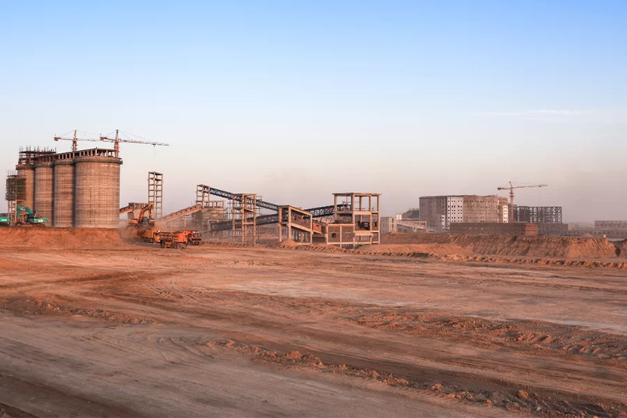

In recent years, global agricultural and livestock exhibitions have emerged as pivotal platforms to showcase the latest technological innovations that transform farming practices worldwide. With the increasing demand for sustainable agriculture, efficient land use, and animal welfare management, precision farming has become a key driver of modern agritech. At the 17th Feria International Para Production Animal, experts and industry leaders converge to explore how advanced technologies, such as the GNSS RTK Base Receiver, are shaping the future of farming. The event highlights trends including automated monitoring, drone-assisted surveying, and smart mapping solutions that rely heavily on centimeter-level accuracy. In this context, the GNSS RTK Base Receiver is recognized as an essential tool, providing the precision needed for mapping, livestock management, and operational planning in diverse agricultural landscapes. As global trends move toward automation, digital twins, and intelligent decision-making, the GNSS RTK Base Receiver is a cornerstone of modern agricultural innovation.

What is a GNSS RTK Base Receiver?
A GNSS RTK Base Receiver is a high-precision positioning device that combines Global Navigation Satellite System (GNSS) signals with Real-Time Kinematic (RTK) correction technology. Unlike conventional GPS systems, which can have errors of several meters, a GNSS RTK Base Receiver provides real-time centimeter-level accuracy by transmitting correction data to rover units. These correction signals allow multiple devices in the field—such as drones, tractors, and handheld surveying tools—to achieve synchronized positioning with minimal error. In essence, the GNSS RTK Base Receiver serves as a reference station, creating a foundation for precise geospatial data collection. Its ability to deliver continuous, reliable, and high-accuracy data makes it indispensable not only in agriculture but also in construction, marine surveying, and GIS applications. Furthermore, advanced models are capable of connecting to multiple constellations including GPS, GLONASS, Galileo, and BeiDou, ensuring robust performance in diverse geographical environments.
Why Does Livestock Farming Need Centimeter Precision?
Modern livestock farming increasingly relies on technology to optimize efficiency, monitor animal health, and improve sustainability. A GNSS RTK Base Receiver enables farmers to achieve precise tracking of animal movement, fence placement, and pasture utilization. For example, knowing the exact location of feeding zones and grazing areas allows for efficient pasture rotation, reduces overgrazing, and maximizes nutritional intake for livestock. Centimeter-level accuracy also improves automated systems such as smart collars, automated feeders, and real-time tracking devices. With a GNSS RTK Base Receiver, farmers can create detailed maps of pastures, water sources, and animal paths, ensuring better herd management. Additionally, precise positioning helps prevent accidents, such as animals wandering outside designated areas, and supports regulatory compliance by providing reliable geospatial records. In essence, a GNSS RTK Base Receiver empowers livestock farmers to make informed, data-driven decisions that enhance productivity and welfare.
What Makes a Premium GNSS RTK Base Receiver?
A premium GNSS RTK Base Receiver distinguishes itself through accuracy, durability, connectivity, and ease of integration. First, stability and reliability are critical; the receiver must maintain precise positioning even in challenging environments like mountainous terrain, dense forests, or areas with poor signal visibility. Multi-constellation support ensures that the GNSS RTK Base Receiver can operate globally, maintaining accuracy under diverse conditions. Durability and weather resistance are equally important, as receivers are often deployed outdoors in harsh conditions. Another hallmark of a high-quality GNSS RTK Base Receiver is its integration capabilities with drones, GIS systems, and mobile mapping platforms, allowing seamless coordination across multiple devices. Advanced features such as real-time monitoring, remote updates, and rapid data transmission further enhance operational efficiency. Ultimately, a premium GNSS RTK Base Receiver combines technological sophistication with practical usability, making it an indispensable tool for modern surveyors, farmers, and geospatial professionals.
The Applications of a GNSS RTK Base Receiver: Precision in the Field
The applications of a GNSS RTK Base Receiver span multiple sectors, reflecting its versatility and value. In agriculture, it is crucial for precision planting, soil sampling, and field boundary mapping. Farmers can optimize machinery operations, reducing overlap and ensuring uniform crop coverage thanks to the high accuracy of the GNSS RTK Base Receiver. In livestock farming, real-time tracking of animals helps manage grazing patterns, monitor herd health, and enhance security. Construction teams benefit from GNSS RTK Base Receiver systems by ensuring accurate site layouts and surveying, even in remote or challenging locations. Marine and hydrographic surveyors rely on GNSS RTK Base Receiver technology to collect precise bathymetric data for navigation and port construction. Additionally, drone-based mapping and aerial imaging require a stable GNSS RTK Base Receiver signal to generate high-resolution terrain models. Each of these applications underscores how the GNSS RTK Base Receiver integrates seamlessly into modern geospatial workflows, enabling productivity gains and operational precision.
The Evolution of Agritech Positioning
Agritech has evolved from manual field measurements to automated, data-driven systems, with the GNSS RTK Base Receiver playing a central role in this transformation. Early farm practices relied on rough estimates, often resulting in inefficiencies, wasted resources, and reduced yields. The introduction of centimeter-precision GNSS technology revolutionized land management, irrigation, and livestock tracking. Today, the GNSS RTK Base Receiver enables autonomous tractors, drone-assisted surveys, and AI-driven farm analytics, allowing farmers to operate with unparalleled accuracy and insight. As technology continues to evolve, the GNSS RTK Base Receiver remains an essential enabler of smart agriculture, supporting sustainable practices and helping farms adapt to global challenges such as climate change, land scarcity, and food security.
Meet NEWDI at the 17th Feria International Para Production Animal
Shanghai Newdi Navigation Technology Company Limited (NEWDI) proudly showcases its advanced geospatial solutions at the 17th Feria International Para Production Animal, featuring the latest GNSS RTK Base Receiver systems. Established in 2016, NEWDI specializes in high-precision surveying instruments, including GNSS receivers, total stations, levels, drones, 3D scanners, echo sounders, and USVs. These solutions serve land surveying, construction, marine surveying, GIS, and mobile mapping applications.
NEWDI has achieved remarkable global expansion, with distribution networks spanning over 10 countries including Thailand, Brazil, the USA, Russia, Benin, and Iraq. The company has sustained a 100% annual growth rate for three consecutive years, reflecting strong demand for high-quality, reliable GNSS RTK Base Receiver technology. At the exhibition, NEWDI emphasizes its commitment to customer service, offering professional technical support, fast repair services, and ready stock for immediate delivery. Visitors will have the opportunity to explore the capabilities of NEWDI’s GNSS RTK Base Receiver, experience hands-on demonstrations, and discover how these advanced instruments can improve precision and efficiency in agricultural and livestock operations.
FAQ About GNSS RTK Base Receiver
Q1: What industries use a GNSS RTK Base Receiver?
A GNSS RTK Base Receiver is widely used in agriculture, livestock management, construction, marine surveying, GIS, and mobile mapping applications.
Q2: How accurate is a GNSS RTK Base Receiver?
A professional GNSS RTK Base Receiver achieves centimeter-level accuracy in real time, far surpassing standard GPS devices.
Q3: Can a GNSS RTK Base Receiver improve livestock management?
Yes. With a GNSS RTK Base Receiver, farmers can track herd movement, map grazing areas, and automate feeding or monitoring systems.
Q4: What makes NEWDI’s GNSS RTK Base Receiver different?
NEWDI’s GNSS RTK Base Receiver integrates stability, multi-constellation support, fast data transmission, durability, and global technical support, making it highly reliable for professional users.
Q5: How does a GNSS RTK Base Receiver support smart farming?
The GNSS RTK Base Receiver provides accurate spatial data for precision planting, automated machinery, drone surveys, and AI-driven farm analytics, ensuring optimal land use and resource efficiency.
Q6: Is installation and setup difficult?
NEWDI’s GNSS RTK Base Receiver systems are designed for easy deployment, with step-by-step guidance, remote technical support, and compatibility with various rover devices for immediate use.