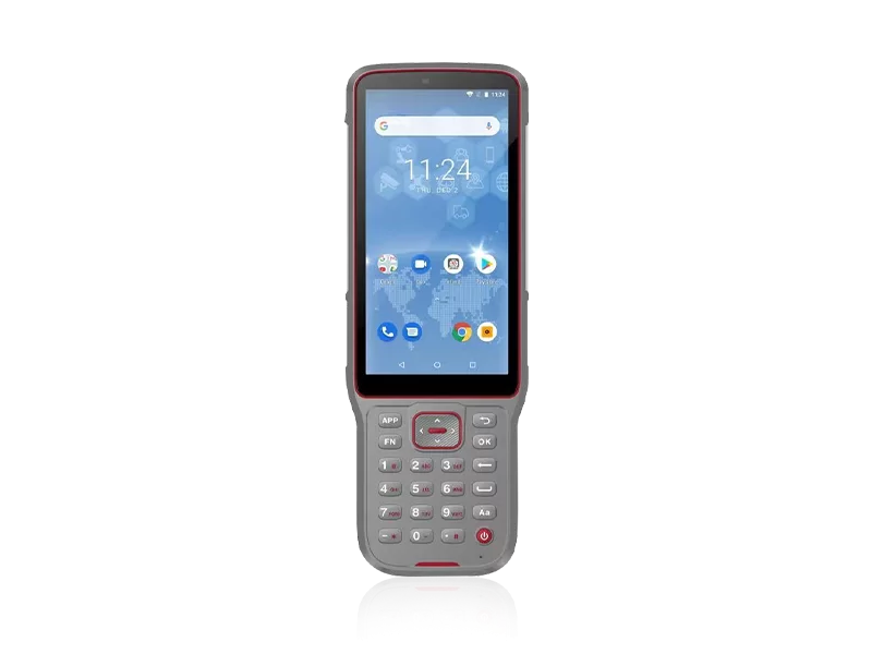
Navigating harsh aquatic environments presents unique challenges for hydrographic professionals. Unpredictable weather, highly corrosive saltwater, and the absolute necessity for centimeter-level bathymetric mapping mean that standard land-based tools simply fail to perform. When your project demands flawless sub-surface data, equipment reliability is not a luxury—it is the baseline.
Since 2016, our mission has been to make surveying easier across all terrains, specifically engineering robust solutions for the marine industry. Backed by ISO 9001 certification and a rigorous quality control framework, our surveying instruments are built to withstand offshore punishment. With a production capacity of 1,000 sets per month and an agile global footprint, we ensure that specialized surveying teams receive field-tested, ruggedized instruments without operational delays.
Hydrographic and offshore projects require uncompromising technical architecture. We achieve industry-leading performance by strictly adhering to advanced engineering and manufacturing protocols, guaranteeing that every piece of hardware is field-ready.
| Performance Metric | Industry Significance | Our Engineering Standard | Advantage |
|---|---|---|---|
| Environmental Ruggedness | Marine surveying demands complete protection against water and dust ingress. | IP67 / IP68 Certification | Ensures uninterrupted, safe operation during severe weather and prolonged offshore exposure. |
| Positioning Precision | Bathymetric charting requires exact spatial coordinates to map the seabed accurately. | High-precision RTK Positioning & Tilt Sensors | Delivers centimeter-level accuracy, dynamically compensating for vessel pitch and roll. |
| Quality Assurance | Equipment failure at sea results in massive downtime and financial loss. | ISO 9001: Pre-production & Final Inspection | Guarantees 100% operational readiness out-of-the-box, eliminating field deployment risks. |
| Technological Innovation | Stagnant technology leads to inefficient data collection and slow project turnaround. | 10% Annual Revenue Reinvested in R&D | Provides future-proof capabilities, integrating the latest visual GNSS and automated steering technologies. |
Strategic procurement is about understanding the total cost of ownership. Investing in premium hydrographic systems directly correlates to accelerated project completion and minimized vessel downtime. By leveraging a distribution network that spans over 10 countries—with dedicated local technical support branches in the USA, Dubai, India, and South Africa—we drastically reduce maintenance lead times for our clients across Southeast Asia, Africa, and South America.
The true value of top-tier marine surveying gear lies in its long-term operational efficiency. Below is an illustration of how integrating our high-precision instruments improves field efficiency and reduces operational costs over a standard hydrographic project lifecycle.
Related products
Top Selling Products