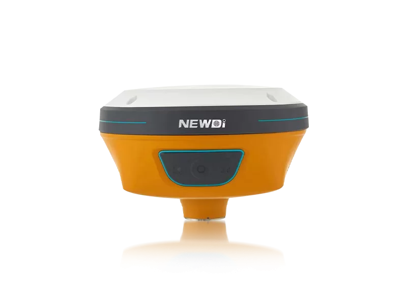
Modern surveying professionals constantly battle treacherous terrains, signal obstructions, and the high-pressure demand for faster, more accurate field data. Relying on traditional measurement equipment often leads to project delays, compromised precision, and significant safety risks when occupying difficult points. These bottlenecks directly impact your operational efficiency and project profitability. The industry demands a solution that bridges the gap between high-precision satellite positioning and immediate visual verification.
By integrating advanced visual GNSS technology, Shanghai Newdi Navigation Technology Co., Ltd. resolves these exact field challenges. Since our founding in 2016, we have maintained a strict dedication to innovation, investing 10% of our annual revenue directly into R&D. This commitment has driven the development of state-of-the-art surveying instruments like the N10 IMU & Visual GNSS Receiver. Manufactured in our ISO 9001 certified facilities with rigorous pre-production and final shipment inspections, our solutions are engineered to transform complex mapping tasks into streamlined, easy-to-manage workflows.
Achieving millimeter-level accuracy across land survey, marine, and construction industries requires uncompromising engineering. When evaluating high-precision RTK and visual mapping instruments, understanding the underlying technical specifications is critical to ensuring long-term field reliability and absolute data integrity.
| Performance Metric | Industry Significance | Our Engineering Standard | Advantage |
|---|---|---|---|
| Visual Positioning Architecture | Enables non-contact measurement in hard-to-reach or dangerous areas. | Integrated N10 Visual GNSS Receiver Technology | Captures highly accurate spatial data safely without requiring physical occupation of hazardous points. |
| IMU & Tilt Compensation | Eliminates the need to strictly level the pole, drastically saving time per point. | High-precision IMU sensor with auto-calibration | Maintains strict RTK positioning accuracy even at severe tilt angles and under canopy. |
| Environmental Ruggedness | Determines equipment lifespan in harsh outdoor environments. | IP67 / IP68 Certified Enclosures | Fully protected against water immersion, dust ingress, and accidental drops, ensuring zero operational downtime. |
| Quality Assurance Standard | Guarantees consistent, reliable performance across massive fleet deployments. | ISO 9001 with Pre-production & Final Inspection protocols | Minimizes defect rates and ensures out-of-the-box readiness for rapid global deployment. |
Strategic investments in advanced surveying equipment do much more than improve measurement accuracy; they fundamentally accelerate project lifecycles. Utilizing our industry-leading visual GNSS solutions directly translates to measurable financial gains and rapid scalability. Supported by a robust production capacity of approximately 1,000 sets per month and a global distribution network spanning over 10 countries—including dedicated branch offices in the USA, Dubai, India, and South Africa—our infrastructure guarantees that your operations remain supported wherever you deploy.
Our core mission is to make surveying easier. By outfitting your teams with cutting-edge visual RTK systems powered by a sales and support team averaging 5 years of professional experience, firms can drastically reduce the man-hours required for complex topography. The visualization below illustrates the projected efficiency acceleration and simultaneous reduction in operational costs when upgrading to our premier visual surveying technology.
Related products
Top Selling Products