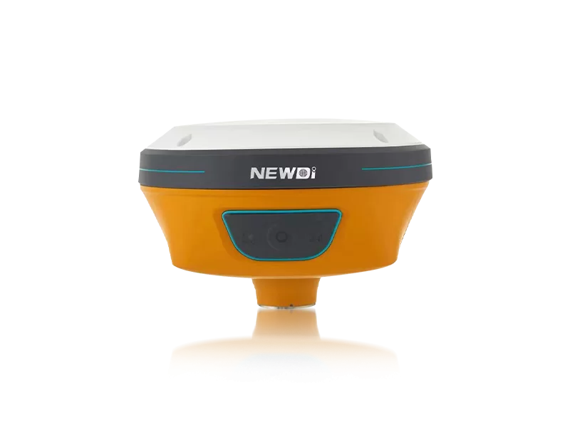
Securing highly accurate land surveying and marine mapping equipment at scale often forces procurement managers into a difficult corner: compromising between top-tier spatial accuracy and strict budget limitations. When managing massive projects across construction, UAV operations, or marine navigation, equipment failure or poor signal retention is not an option. You need a reliable source that guarantees both quality and volume.
Since our establishment in 2016, Shanghai Newdi Navigation Technology Co., Ltd. has made it our mission to make surveying easier and more cost-effective. By maintaining an aggressive production capacity of approximately 1,000 sets per month out of our Shanghai headquarters, we completely eliminate bulk fulfillment anxiety.
Furthermore, our dedicated sales engineering team—averaging over 5 years of specialized industry experience—works directly with your project managers. Supported by an ISO 9001 certified quality control process that demands rigorous pre-production sampling and strict final pre-shipment inspections, we ensure that every instrument performs flawlessly out of the box. Whether your operations are based in Southeast Asia, Africa, or South America, our branch offices in the USA, Dubai, India, and South Africa are positioned to provide immediate local technical support, ensuring your operations never experience unnecessary downtime.
Deploying advanced surveying technology requires an uncompromising commitment to engineering tolerances. To meet the complex demands of modern land survey and agriculture steering, a device must possess sophisticated inertial measurement capabilities, unmatched ruggedness, and rapid signal acquisition. Below is a breakdown of the specific technical benchmarks we adhere to when developing our industry-leading N10 IMU and C5 models.
| Performance Metric | Industry Significance | Our Engineering Standard | Advantage |
|---|---|---|---|
| Positioning Accuracy | Vital for critical construction layout and precise agricultural mapping. | High-precision RTK positioning with integrated visual GNSS technology. | Eliminates costly rework and accelerates field mapping operations by delivering centimeter-level precision. |
| Environmental Durability | Fieldwork consistently exposes delicate sensors to extreme moisture and dust. | IP67 / IP68 certified ruggedness across the product line. | Guarantees zero operational downtime even in the harshest marine or land survey environments. |
| Sensor Compensation | Surveying inaccessible or heavily obstructed points is notoriously difficult. | Advanced internal IMU and tilt sensor integration. | Maintains absolute accuracy even when the survey pole is tilted, dramatically improving worker safety and speed. |
| Scalable Fulfillment | Large-scale B2B buyers require predictable, uniform device fleets. | ISO 9001 factory standard with ~1,000 units/month output. | Ensures consistency across bulk orders and rapid deployment capabilities globally. |
Market authority translates directly to financial performance. Investing in surveying infrastructure is a capital-intensive process, which is why strategic procurement goes beyond the initial transaction. By dedicating 10% of our annual revenue strictly to Research and Development, we consistently pioneer updates like the NEW TD63 Development Kit and the UES500 Grade Guidance System. This aggressive R&D strategy ensures your fleet is virtually future-proofed against rapid technological obsolescence.
Partnering with a globally recognized manufacturer—recently featured at FIGAN 2025, GOLDEN NIVA 2025, and Intergeo—means leveraging economies of scale. When you consult our customized tiered frameworks, the cost per unit dramatically decreases as your procurement volume scales, all without sacrificing the premium local support network we have established across four continents.
Related products
Top Selling Products