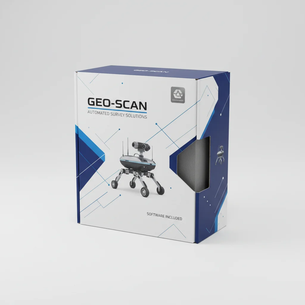
The evolution of precision measurement has led to the integration of high-performance computing and rugged hardware, fundamentally changing how field data is captured. In the modern industrial landscape, a reliable robotic survey equipment product serves as the nerve center for geospatial data collection, ensuring that measurements are not only accurate but also efficiently managed in real-time.
As infrastructure projects grow in complexity, the demand for hardware that can withstand extreme environments while providing high-definition visualization has surged. Professionals now require devices that bridge the gap between office-grade processing power and field-grade durability, allowing for seamless transitions from data acquisition to preliminary analysis without leaving the site.
By leveraging advanced Android-based ecosystems and industrial-grade sensors, the modern robotic survey equipment product enables surveyors to maximize productivity through enhanced connectivity and robust hardware specifications.

Industrial Design and Robustness
Fieldwork often takes place in the most inhospitable conditions, from dust-choked construction sites to rain-swept remote terrains. To address this, a professional robotic survey equipment product must be built to an industrial standard, featuring IP67-rated protection. This certification ensures the device is completely dust-tight and can withstand temporary immersion in water, preventing internal circuitry failure during unexpected weather shifts.
Beyond environmental sealing, physical impact resistance is critical for reducing downtime. The ability to survive a 1.5-meter drop onto concrete prevents costly replacements and ensures that the measurement process remains uninterrupted even in high-stress environments. This level of ruggedization transforms a sensitive electronic device into a dependable tool for the toughest industrial applications.
Visual Clarity and User Interface
The ability to read critical data under direct sunlight is a non-negotiable requirement for any surveyor. A high-visibility 5.5-inch color touch screen with HD resolution (1440 x 720) ensures that coordinates and maps are crystal clear, regardless of the lighting conditions. This eliminates the need for cumbersome sunshades and reduces eye strain during long operational hours.
Interactivity is further enhanced by capacitive multi-touch technology and scratch-resistant glass. These features allow operators to navigate complex software interfaces quickly and accurately, even when wearing gloves or working in damp conditions. The high pixel density (296 ppi) ensures that fine details in geospatial maps are rendered sharply.
By combining a sunlight-readable display with an intuitive Android 8.1 interface, the user experience is streamlined. This allows for faster data entry and immediate verification of captured points, significantly reducing the margin of error associated with manual data logging.
Core Hardware Performance
At the heart of a high-functioning robotic survey equipment product lies the processing power required to handle complex geospatial algorithms. The integration of a MediaTek MTK6762 Octa-Core 2.0GHz CPU provides the necessary computational overhead to run multiple surveying applications simultaneously without lag.
Memory management is equally vital; with 4 GB of RAM and 64 GB of internal flash memory, the robotic survey equipment product can process large datasets locally. For projects involving massive amounts of point cloud data or high-resolution imagery, the inclusion of a Micro SD card slot supporting up to 128 GB ensures that storage is never a bottleneck.
This combination of an 8-core processor and expandable storage creates a stable platform for professional surveying software. It ensures that the transition from data acquisition to local processing is fluid, allowing surveyors to maintain a high tempo of work in the field.
Power Management and Field Endurance
Battery life is often the weakest link in mobile field equipment, yet it is the most critical for productivity. A high-capacity 6,500 mAh Li-ion battery is integrated to ensure that the device can power through a full working day. Under normal conditions, this translates to up to 14 hours of continuous operation, removing the anxiety of mid-day power failure.
Efficiency is not just about capacity but also about replenishment. With a typical charging time of 4 hours, the device can be fully restored overnight, ensuring it is ready for the next day's deployment. This reliability in power delivery allows teams to venture further into remote areas without needing portable power banks.
Operational Efficiency of Robotic Survey Equipment Product
Connectivity and Data Integration
Modern surveying requires constant communication between the field and the office. A comprehensive network modem supporting FDD-LTE, TDD-LTE, WCDMA, and GSM ensures that the device maintains a stable connection across various global bands. This allows for the immediate upload of coordinates to cloud servers and real-time synchronization with project managers.
Beyond cellular data, the device is equipped with Wi-Fi (IEEE 802.11a/b/g/n/ac) and Bluetooth 5.0 BLE. These protocols facilitate rapid pairing with GNSS sensors, total stations, and other peripheral robotic survey equipment product components, creating a unified ecosystem where data flows seamlessly from the sensor to the controller and then to the final report.
Global Application Scenarios
In the realm of large-scale infrastructure, such as highway construction and bridge building, the precision of these controllers is paramount. They allow engineers to verify site alignments and grade levels in real-time, reducing the need for repetitive manual measurements and significantly accelerating the project timeline.
Agriculture is another sector benefiting from this technology. By integrating with guidance and steering platforms, the device helps in precision farming—mapping field boundaries and optimizing seed placement with centimeter-level accuracy, which directly translates to higher crop yields and reduced waste.
Furthermore, in disaster recovery and urban planning, these rugged devices enable rapid geospatial mapping. Whether it is assessing damage after a flood or planning a new city grid, the combination of a 13MP camera and high-precision GNSS connectivity allows for a comprehensive digital twin of the environment to be created quickly.
Technical Specification Analysis
Understanding the hardware capabilities is key to choosing the right tool for the job. The synergy between the Octa-Core processor and the Android 8.1 OS provides a stable environment for professional GIS and CAD software, ensuring that complex calculations are performed without system crashes.
The integration of specialized sensors, including a G-sensor, gyroscope, and light sensor, adds a layer of intelligence to the hardware. This allows the device to optimize screen brightness automatically and maintain orientation awareness, which is essential when working with mapping software.
Finally, the physical dimensions—225 mm x 80 mm x 17 mm—and a weight of only 375g make it highly portable. This ensures that the surveyor can carry the controller for extended periods without fatigue, maintaining high focus on the accuracy of the data being collected.
Technical Specification Summary of the Controller
| Component |
Specification |
Industrial Benefit |
Reliability Score |
| Display |
5.5" HD IPS LCD |
Sunlight readability |
9/10 |
| Protection |
IP67 / 1.5m Drop |
Water/Dust proofing |
10/10 |
| Processor |
MTK6762 Octa-Core |
Fast data processing |
8/10 |
| Battery |
6,500 mAh |
14h operating time |
9/10 |
| Connectivity |
4G LTE/BT 5.0/Wi-Fi |
Cloud synchronization |
9/10 |
| Storage |
64GB + 128GB Ext |
Large dataset capacity |
8/10 |
FAQS
Yes, the device is specifically engineered for industrial environments. With an IP67 rating, it is fully protected against dust and water immersion. Additionally, it is designed to operate in temperatures ranging from -20°C to +55°C, making it suitable for both Arctic and desert conditions.
The integrated 6,500 mAh battery is designed to support a full working day. Under normal operating conditions, you can expect up to 14 hours of use, which ensures that the controller remains active from the first point of the morning to the final check of the evening.
Absolutely. The 5.5-inch HD color touch screen is specifically designed for high visibility in sunlight. This prevents the common issue of screen glare, allowing surveyors to read coordinates and maps clearly without needing external shade.
Yes, while the device comes with 64 GB of internal flash memory, it includes a Micro SD card expansion slot. You can add up to 128 GB of additional storage, which is ideal for storing high-resolution site photos and extensive point cloud data.
The device features a versatile network modem supporting a wide array of bands, including FDD-LTE, TDD-LTE, WCDMA, and GSM. This ensures global compatibility and stable 4G connectivity for real-time data transmission to the office.
Yes, through Bluetooth 5.0 BLE and Wi-Fi, the device can seamlessly connect with various GNSS sensors and total stations. This allows it to act as the primary data collector and interface for a complete robotic survey system.
Conclusion
The integration of industrial-grade durability, high-performance computing, and superior visual clarity makes this robotic survey equipment product an indispensable tool for modern geospatial professionals. By combining IP67 protection and 14-hour battery endurance with a powerful Octa-Core processor, the device eliminates the traditional trade-off between ruggedness and performance, ensuring that data collection is both accurate and efficient.
As the industry moves toward greater automation and real-time cloud integration, investing in hardware that supports wide-band connectivity and expandable storage is a strategic necessity. To enhance your field productivity and ensure unmatched reliability in your measurements, we invite you to explore our full range of solutions. Visit our website: www.nctnav.com