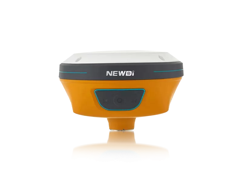
Field engineering crews continually face an uphill battle against tight project deadlines, complex terrains, and unpredictable environmental conditions. Bridging the gap between harsh topography and seamless data collection requires more than just standard gear; it demands an intuitive, reliable automated survey instrument that effectively eliminates guesswork and redundant manual labor. When your team's productivity and safety are on the line, local technical support and rugged reliability become non-negotiable necessities.
Since its establishment in 2016, Shanghai Newdi Navigation Technology Co., Ltd. has systematically addressed these exact operational hurdles. Driven by a core mission to make surveying fundamentally easier, we deliver high-precision mapping tools purpose-built for the land survey, marine, construction, and UAV industries. Operating from our advanced headquarters in Shanghai, we maintain a robust production capacity of approximately 1,000 sets per month. Furthermore, our expansive distribution network spans more than 10 countries, fortified by dedicated branch offices in the USA, Dubai, India, and South Africa. This global footprint ensures that wherever your project takes you—from Southeast Asia to South America—rapid, localized technical support for your critical mapping equipment is always within reach.
Achieving millimeter-level accuracy in demanding applications is never a matter of chance; it is the direct result of uncompromising engineering and rigorous quality control. When evaluating a professional automated survey instrument, the underlying technology stack and manufacturing standards dictate its true field performance. We continuously reinvest 10% of our annual revenue directly into Research & Development, consistently bringing cutting-edge solutions like the C5 GNSS Receiver and the NEW TD63 Development Kit to exhibitions such as Intergeo and FIGAN.
Every piece of hardware that leaves our facility is backed by stringent ISO 9001-certified processes. From pre-production sample evaluations to exhaustive final pre-shipment inspections, our quality assurance protocols ensure absolute hardware integrity.
| Performance Metric | Industry Significance | Our Engineering Standard | Strategic Advantage |
|---|---|---|---|
| Positioning Precision | Crucial for topographic accuracy and structural alignment. | High-Precision RTK with N10 IMU & Visual GNSS. | Accelerates point capture times and completely negates magnetic interference. |
| Environmental Resilience | Determines operability in harsh climates. | IP67/IP68 Ruggedness Ratings across core product lines. | Guarantees maximum uptime and protects investments against dust, water, and extreme weather. |
| System Integration | Ensures seamless operation across diverse heavy machinery. | NG3A Automated Steering & UES500 Grade Guidance. | Transforms standard agriculture and excavator fleets into highly automated, intelligent assets. |
| Quality Assurance | Reduces defect rates and hardware failures. | ISO 9001 Certified with 100% pre-shipment final inspection. | Provides peace of mind with highly dependable hardware capable of enduring sustained daily use. |
Long-term financial performance in the mapping and construction sectors is deeply intertwined with equipment efficiency. Investing in a highly capable automated survey instrument transcends the initial capital expenditure—it acts as a powerful catalyst for reducing labor costs, accelerating project completion rates, and minimizing expensive operational downtime. Organizations leveraging our high-precision GNSS and guidance systems routinely report a profound shift in workflow efficiency and overall profitability.
With an expert sales and engineering team boasting an average of five years of specialized industry experience, we ensure your transition to advanced hardware is flawlessly executed from day one. By significantly decreasing human error and survey rework, your organization unlocks sustainable value engineering. To visualize this financial impact, the chart below illustrates the projected long-term efficiency gains and corresponding reduction in operational costs when transitioning to our advanced spatial measurement ecosystems.
Related products
Top Selling Products