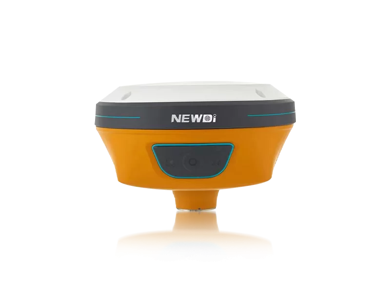
Securing consistently accurate geospatial data while managing tight project deadlines is a prevailing challenge for modern engineering, construction, and marine teams. Unreliable equipment, inconsistent signal retention in obstructed environments, and unscalable supply chains can severely paralyze your operations. When your field operations span diverse terrains, you need hardware that simply works out of the box, without the frustrating friction of complex integrations or unexpected downtime.
This is where strategic procurement transforms operational bottlenecks into competitive advantages. Established in 2016, we understand the critical demand for precision and durability. By committing 10% of our annual revenue directly into advanced R&D, we ensure our high-precision GNSS receivers and mapping instruments stand at the forefront of industry innovation. Our core mission is to make surveying significantly easier for end-users, delivering plug-and-play reliability backed by a highly specialized infrastructure.
The distinction between consumer-grade tracking and professional-grade geospatial mapping lies entirely in the engineering rigor. A top-tier provider must bridge the gap between sophisticated software algorithms and ruggedized hardware capabilities. From agricultural fields to demanding construction sites, our technology portfolio—including the N10 IMU & Visual GNSS Receiver, the NG3A Automated Steering System, and the UES500 Grade Guidance System—reflects an unyielding commitment to performance.
Below is a detailed technical benchmark demonstrating how our rigorous manufacturing tolerances directly translate to enhanced field performance for your operational fleets.
| Performance Metric | Industry Significance | Our Engineering Standard | Advantage |
|---|---|---|---|
| Positioning Accuracy | Determines foundational data reliability for surveying and mapping. | High-precision RTK integration with N10 IMU & Visual GNSS. | Maintains centimeter-level precision even in heavily obstructed or magnetically interfered environments. |
| Environmental Durability | Crucial for equipment survival in harsh marine and construction climates. | IP67 / IP68 ruggedized enclosures with tilt sensor capabilities. | Prevents water and dust ingress, dramatically extending lifecycle and reducing replacement overhead. |
| Quality Assurance | Guarantees consistency across bulk hardware deployments. | ISO 9001 Certified facility with pre-production & pre-shipment inspections. | Virtually eliminates defect rates, ensuring instant operational readiness upon delivery. |
| Manufacturing Scalability | Dictates lead times and rapid project mobilization capabilities. | Stable production capacity of approximately 1,000 sets per month. | Provides resilient, scalable inventory for global distributors without bottleneck delays. |
Strategic procurement transcends the initial purchase price. Long-term return on investment is cultivated through rapid localized technical support, continuous product evolution, and expansive global reach. A true manufacturing partner actively protects your investment by minimizing equipment downtime and maximizing field efficiency.
Our expansive global footprint is specifically designed to safeguard your operational continuity. With our distribution network successfully covering more than 10 countries across major markets like Southeast Asia, Africa, and South America, we have strategically deployed dedicated branch offices in the USA, Dubai, India, and South Africa. Coupled with a professional sales team averaging 5 years of industry-specific experience, this local technical support infrastructure ensures that expert guidance is always within your time zone.
By continually participating in premier global exhibitions such as INTERGEO, CHINTERGEO, FIGAN 2025, and GOLDEN NIVA 2025, we do not just react to market trends—we define them. Whether launching the innovative C5 GNSS Receiver or the NEW TD63 Development Kit, our ongoing advancements guarantee that your enterprise always commands a competitive, technologically superior edge.
Related products
Top Selling Products