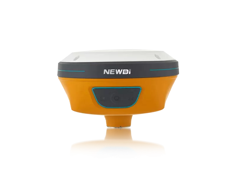
Professionals in land survey, construction, and marine sectors intimately understand the frustration of signal degradation. When your base station infrastructure fails or drifts, entire project timelines collapse, leading to skyrocketing operational costs and unrecoverable downtime.
Finding a reliable solution requires looking beyond basic specifications to identify equipment built for relentless, mission-critical accuracy. Since 2016, our engineering teams have dedicated themselves to a single mission: to make survey easier and more dependable. By investing a substantial 10% of our annual revenue directly into Research & Development, we consistently pioneer breakthroughs in positioning technology.
When you integrate a high quality GNSS CORS receiver into your network, you are leveraging an infrastructure trusted across more than 10 countries. Backed by an ISO 9001 certified production facility capable of manufacturing 1,000 precision sets per month, every receiver undergoes rigorous pre-production sampling and exhaustive final inspections. Coupled with localized technical support from branch offices in the USA, Dubai, India, and South Africa, your operations are safeguarded against both environmental variables and technical disruptions.
Continuously Operating Reference Stations demand absolute fidelity. The technical architecture must account for atmospheric interference, multipath errors, and severe weather conditions without missing a single epoch of data. Below is the blueprint of how our systems achieve industry-leading stability.
| Performance Metric | Industry Significance | Our Engineering Standard | Advantage |
|---|---|---|---|
| Positioning Precision | Vital for establishing accurate reference frameworks and boundary limits. | High-precision RTK with IMU & Visual GNSS integration | Eliminates coverage blind spots, ensuring continuous, millimeter-level data output even in complex topographies. |
| Environmental Resilience | Prevents hardware failure during long-term, unattended outdoor deployment. | IP67 / IP68 Ruggedness Certification | Guarantees flawless operation under extreme dust exposure and prolonged water immersion, drastically reducing maintenance cycles. |
| Quality Assurance | Ensures unit-to-unit consistency across expansive regional networks. | ISO 9001, Pre-production & Final Shipment Inspections | Mitigates the risk of out-of-box failures, ensuring immediate and reliable deployment for large-scale CORS networks. |
| Technological Longevity | Keeps reference station infrastructure compatible with future satellite constellations. | Dedicated R&D Reinvestment (10% Annual Revenue) | Future-proofs your investment by keeping hardware architecture aligned with upcoming geospatial innovations and signals. |
Deploying advanced geospatial infrastructure is not merely a technical upgrade; it is a strategic financial decision. A robust network requires hardware that minimizes total cost of ownership (TCO) while maximizing data yield. By eliminating frequent recalibrations, reducing hardware failure rates through IP67/IP68 durability, and utilizing our expert sales team—which brings an average of 5 years of specialized industry experience—organizations can dramatically accelerate project completions.
Whether mapping extensive agricultural plots with automated steering integration or managing complex construction grading, a high quality GNSS CORS receiver acts as a force multiplier. The chart below illustrates the projected long-term value, mapping the drastic reduction in operational downtime against the exponential growth in surveying efficiency over a five-year deployment phase.
Related products
Top Selling Products