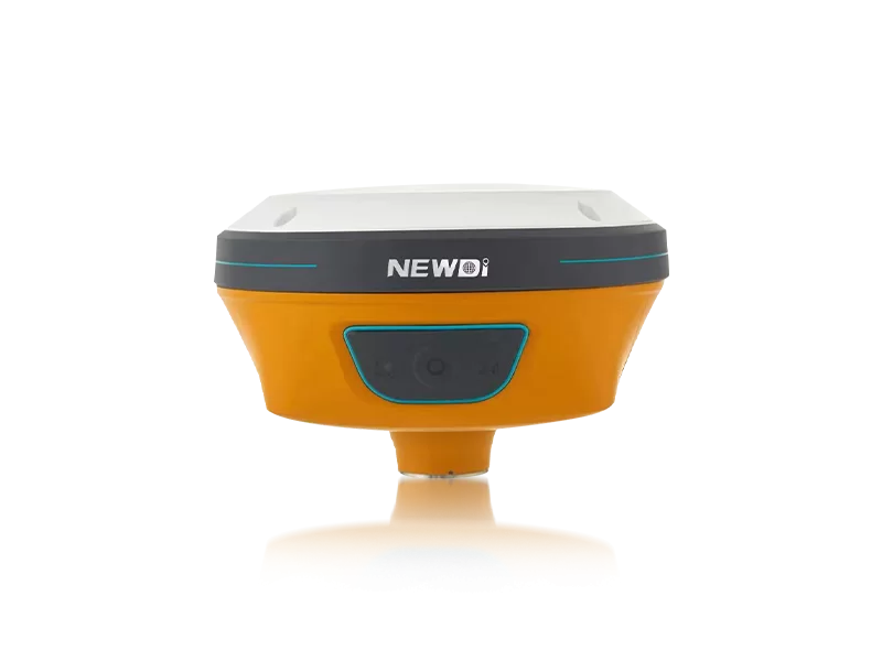
Are you constantly battling inconsistent satellite tracking, difficult terrain setups, and a lack of responsive technical support during critical fieldwork? For land surveyors and construction professionals, an unreliable signal or unexpected equipment failure doesn't just cause frustration—it directly compromises project timelines and inflates operational budgets. The modern surveying landscape demands tools that simplify data collection while thriving in the harshest environments.
Since 2016, Shanghai Newdi Navigation Technology Co., Ltd. has been on a dedicated mission to make surveying easier. Recognizing the critical need for absolute precision and rugged dependability, we provide highly integrated surveying and mapping instruments that directly answer these field challenges. By backing the deployment of high-tier equipment with an ISO 9001-certified quality control process, we ensure that every unit delivered performs flawlessly right out of the box.
Furthermore, our robust infrastructure—featuring a professional sales team with over five years of average experience and strategic branch offices in the USA, Dubai, India, and South Africa—guarantees that you receive localized, rapid technical support. Whether you are mapping complex marine environments or running vast land surveys, our comprehensive support network transforms complex fieldwork into a streamlined, highly predictable operation.
Achieving millimeter-level accuracy demands more than basic satellite reception; it requires a synergy of advanced hardware engineering and rigorous quality assurance. Understanding the underlying technical benchmarks helps professionals leverage their equipment to its maximum potential. To maintain dominance in high-precision land survey, construction, and UAV industries, equipment must adhere to uncompromising global manufacturing and operational standards.
We enforce stringent pre-production sampling and final pre-shipment inspections to guarantee that every system meets the highest industry thresholds. Below is an overview of the specific engineering and performance benchmarks that ensure operational superiority in the field.
| Performance Metric | Industry Significance | Our Engineering Standard | Advantage |
|---|---|---|---|
| Environmental Ruggedness | Protects against dust, water, and extreme weather downtime. | IP67/IP68 certification and robust physical casing. | Enables continuous, reliable data collection in adverse weather, eliminating costly site delays. |
| Quality Assurance | Ensures hardware consistency and minimizes out-of-box defect rates. | Strict ISO 9001 certification with final pre-shipment inspection. | Provides total peace of mind and guarantees that units are field-ready upon arrival. |
| Deployment Scale | Critical for equipping large-scale infrastructure projects swiftly. | Manufacturing capacity of approximately 1,000 sets per month. | Rapid fulfillment of bulk orders, supporting seamless project scaling across global sites. |
| Technological Innovation | Keeps hardware relevant against evolving surveying demands. | Dedication of 10% of annual revenue directly into R&D. | Continuous access to cutting-edge features like IMU integration and automated steering support. |
Strategic procurement goes far beyond the initial purchase price. For enterprise-level surveying firms and construction conglomerates, financial returns are dictated by equipment lifespan, operational efficiency, and the reduction of costly downtime. By investing in technology backed by a company that funnels 10% of its annual revenue into Research and Development, you are securing a future-proof asset that adapts to the fast-evolving demands of the UAV, marine, and agriculture sectors.
Market authority translates directly into financial gain. Our expansive distribution network spans over 10 countries, heavily servicing major markets in Southeast Asia, Africa, and South America. This global footprint, combined with our dedicated local branch offices, means technical disruptions are resolved in hours, not weeks. The result is a drastically shortened project lifecycle, reduced labor overhead, and a highly optimized return on investment.
Related products
Top Selling Products