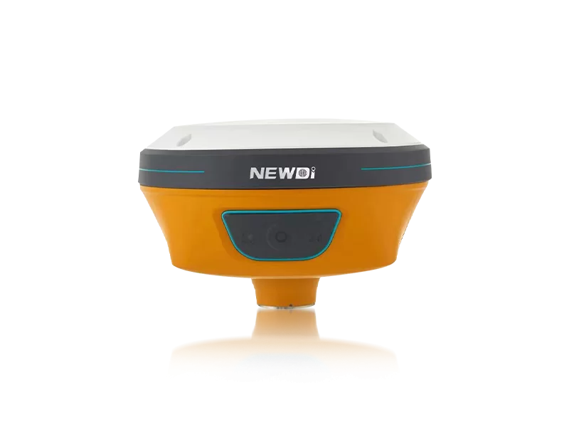
Navigating harsh terrains and unpredictable environmental conditions often leads to compromised data accuracy and delayed project timelines. For engineering and construction teams, the challenge of securing reliable positioning data is a constant hurdle that directly impacts the bottom line. Finding a solution that balances rugged durability with sub-millimeter precision is essential for modern terrain mapping.
Since 2016, Shanghai Newdi Navigation Technology Co., Ltd. has engineered advanced solutions designed to eliminate these field uncertainties. With a clear mission to make surveys easier, our high-precision surveying and mapping instruments are built for land survey, marine, and UAV industries. Supported by an ISO 9001 certified manufacturing process and a professional sales team averaging 5 years of industry experience, we ensure that every instrument delivered meets the stringent demands of complex topography projects globally.
Achieving superior accuracy requires uncompromising technical specifications. Our systems, including the flagship N10 IMU & Visual GNSS Receiver, integrate advanced RTK positioning and tilt sensors to maintain integrity even in signal-challenged environments. Strict pre-production and pre-shipment inspections guarantee that every unit performs flawlessly out of the box.
| Performance Metric | Industry Significance | Our Engineering Standard | Advantage |
|---|---|---|---|
| Positioning Accuracy | Crucial for exact boundary definition and construction layout. | High-precision RTK positioning with N10 IMU & Visual GNSS integration. | Eliminates magnetic interference; enables accurate data collection without plumbing the pole. |
| Environmental Durability | Equipment must survive dust, water, and extreme temperatures. | IP67/IP68 ruggedness certification across primary product lines. | Uninterrupted workflow in severe weather, reducing downtime and maintenance costs. |
| Quality Assurance | Ensures consistent reliability and longevity of the hardware. | ISO 9001 certified with rigorous final inspection protocols. | Zero-defect deployment rate, securing seamless field operations. |
Strategic investments in high-tier mapping technologies yield compounding returns over time. By allocating a robust 10% of our annual revenue directly into Research and Development, we continuously push the boundaries of spatial data acquisition. This commitment not only results in cutting-edge products like the C5 GNSS Receiver and NEW TD63 Development Kit but also directly reduces operational costs for our clients.
Furthermore, our robust production capacity of approximately 1,000 sets per month, combined with strategically located branch offices in the USA, Dubai, India, and South Africa, guarantees rapid deployment and localized technical support. This global infrastructure minimizes equipment downtime and accelerates project delivery, translating market authority into direct financial gains for your organization.
Related products
Top Selling Products