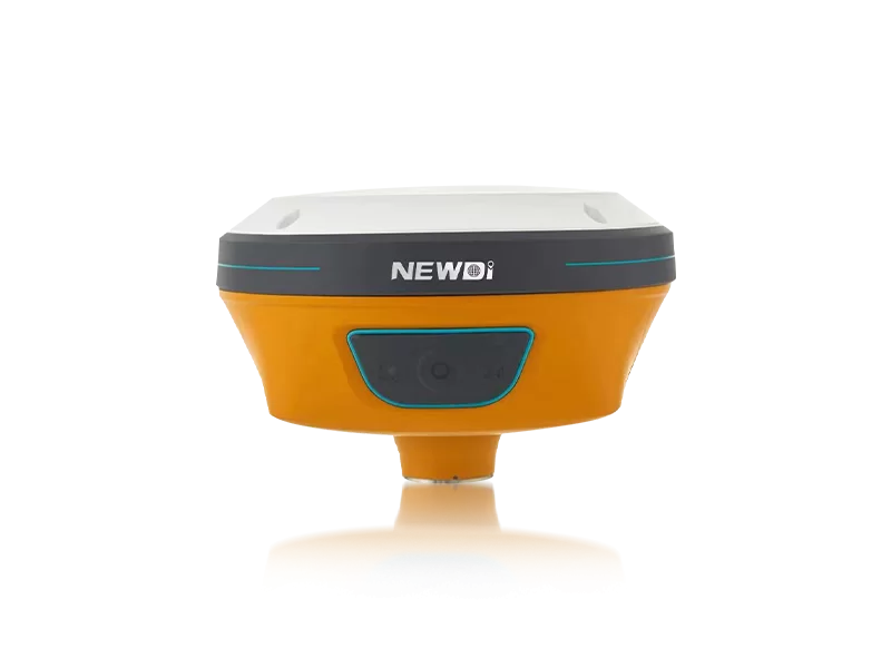
Professionals in land surveying, marine exploration, and construction consistently face the daunting challenge of capturing accurate subsurface and spatial data in unforgiving environments. Inaccurate readings or equipment failure in the field do not just cause delays; they lead to cascading financial losses and compromised project integrity. Navigating these high-stakes scenarios requires instruments that seamlessly integrate into your workflow while offering uncompromising durability and precision.
Driven by a mission to make surveying easier, advanced mapping solutions have evolved to eliminate these exact pain points. Since 2016, our global footprint has expanded to cover over 10 countries, supported by localized branch offices in the USA, Dubai, India, and South Africa. By integrating top-tier platforms that complement high-precision electromagnetic survey equipment workflows, field operators are empowered with reliable data collection capabilities. Backed by a professional sales and support team boasting an average of 5 years of dedicated industry experience, field crews receive not just robust hardware, but the strategic technical support necessary to conquer the most demanding terrains.
Deploying advanced instrumentation requires strict adherence to international manufacturing and operational standards. To ensure that every mapping and land survey initiative is executed flawlessly, rigorous quality control protocols and continuous technological innovation are non-negotiable. Below is a breakdown of the core benchmarks that define highly reliable field operations.
| Performance Metric | Industry Significance | Our Engineering Standard | Advantage |
|---|---|---|---|
| Environmental Resilience | Critical for uninterrupted data collection in harsh climates and marine environments. | IP67/IP68 ruggedness ratings across core precision hardware. | Guarantees zero downtime and protects sensitive internal components from water and dust. |
| Manufacturing & Quality Assurance | Prevents costly out-of-box failures and field calibration errors. | ISO 9001 certified facility with pre-production and final pre-shipment inspections. | Ensures a consistent, high-yield product lifecycle and immediate field readiness. |
| Innovation & Adaptability | Keeps workflows compatible with emerging UAV and automated technologies. | 10% of annual revenue directly reinvested into Research & Development. | Provides operators with future-proof solutions like advanced tilt sensors and visual integrations. |
| Supply Chain Reliability | Secures project timelines for large-scale enterprise deployments. | Production capacity of approximately 1,000 sets per month. | Enables rapid scaling and seamless bulk fulfillment for global operations. |
Market authority is ultimately measured by long-term financial gain and operational efficiency. By leveraging enterprise-grade surveying technology, organizations dramatically reduce man-hours spent on data acquisition and post-processing. Strategic adoption of ruggedized, high-precision instruments minimizes the need for costly secondary surveys and virtually eliminates equipment-related downtime. This combination of speed, durability, and localized technical support translates directly into an accelerated project lifecycle and an optimized bottom line.
Related products
Top Selling Products