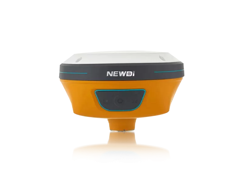
In the highly demanding fields of land survey, construction, marine navigation, and UAV operations, professionals constantly face a critical challenge: achieving centimeter-level accuracy without overextending operational budgets. Sourcing reliable hardware that rivals top-tier global brands is often fraught with concerns over quality control, field durability, and post-sales technical support. When projects demand extreme precision, any hardware failure or signal drop translates directly to lost time and inflated costs.
The Solution: Since 2016, a paradigm shift has emerged. Shanghai Newdi Navigation Technology Co., Ltd. was established with a singular, driving mission: to make surveying easier. Recognized globally as a premier manufacturing hub, we provide high-precision mapping instruments that eliminate the traditional compromise between cost and uncompromising accuracy.
Partnering with a top-tier manufacturing facility means tapping into a robust infrastructure. We maintain a steadfast production capacity of approximately 1,000 sets per month, ensuring supply chain stability for large-scale operations. Furthermore, by reinvesting 10% of our annual revenue directly into Research & Development, we guarantee that our clients always have access to cutting-edge positioning technology capable of handling the most rigorous environments.
To truly evaluate surveying equipment, one must look beyond basic specifications and examine the underlying engineering standards. A reliable manufacturing partner adheres to strict international protocols to ensure every unit performs flawlessly in the field. From rugged environmental protection to advanced visual positioning, our methodology is built around eliminating variables and guaranteeing consistency.
Below is a breakdown of how our specific performance standards benchmark against the highest industry expectations, proving our capability to manufacture world-class precision instruments.
| Performance Metric | Industry Significance | Our Engineering Standard | Advantage |
|---|---|---|---|
| Positioning Precision | Crucial for land survey, agriculture, and UAV mapping accuracy. | High-Precision RTK with N10 IMU & Visual GNSS integration. | Enables rapid, centimeter-level accuracy even in signal-challenged or tilt environments. |
| Hardware Ruggedness | Protects against dust, water, and accidental drops on site. | IP67/IP68 Certified environmental protection. | Maximizes operational uptime and significantly extends the lifespan of the equipment. |
| Quality Control Framework | Prevents factory defects and guarantees field reliability. | ISO 9001 Certified with stringent pre-production and final shipment inspections. | Zero-compromise out-of-the-box performance for every single receiver delivered globally. |
| Application Versatility | Requires adaptability across various heavy machinery. | NG3A Automated Steering (Ag) & UES500 Grade Guidance (Excavators). | Provides scalable, cross-industry solutions from a single, trusted manufacturing source. |
Strategic procurement is no longer just about acquiring hardware; it is about securing a long-term return on investment (ROI). Market authority is inherently linked to financial gain. By choosing an ISO 9001-certified partner with an international footprint, enterprises immediately lower their total cost of ownership. Our distribution network effectively covers over 10 countries—spanning major markets across Southeast Asia, Africa, and South America—bolstered by localized branch offices in the USA, Dubai, India, and South Africa.
This global layout translates to rapid, localized technical support provided by a professional sales team with an average of 5 years of specialized experience. By minimizing equipment downtime and maximizing field efficiency with products like the new C5 GNSS Receiver and NEW TD63 Development Kit, organizations witness a compounding positive effect on their profit margins. High-precision automation drastically cuts labor hours and prevents costly surveying errors.
Related products
Top Selling Products