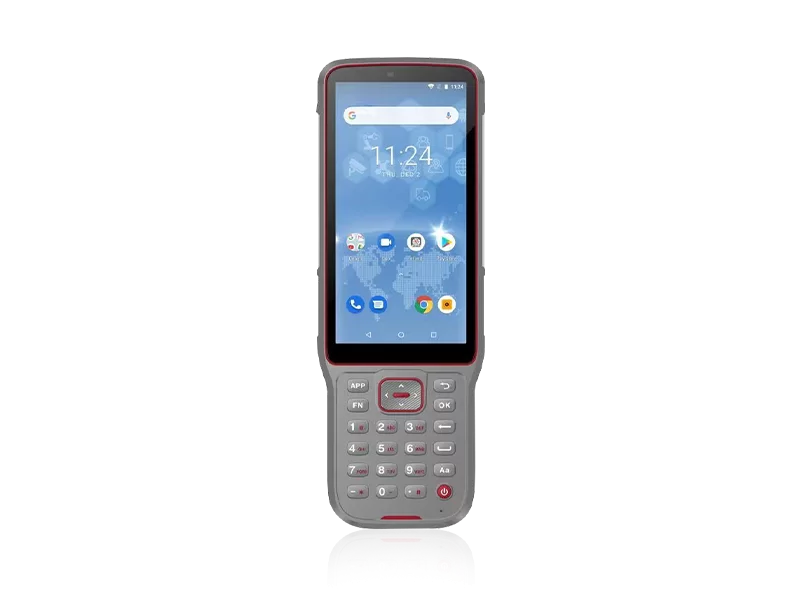
Field engineers and project managers frequently encounter a critical operational bottleneck: the inability to capture precise topographical data in unforgiving environments without causing severe project delays. Whether navigating complex urban landscapes, mapping rugged marine shores, or establishing grades in demanding agricultural fields, standard measurement tools often fail under pressure. This unreliability inevitably leads to costly data discrepancies, extended timelines, and mounting frustration across the project lifecycle.
Since 2016, the singular mission has been to eliminate these barriers by making survey workflows remarkably simple and highly accurate. By integrating state-of-the-art GNSS technologies and dedicated localized support, professionals are fully equipped to execute any advanced land surveying and topographic mapping service with absolute confidence. Leveraging an impressive manufacturing capability of 1,000 high-precision instrument sets per month and a robust global distribution network spanning over 10 countries—including strategic branch offices in the USA, Dubai, India, and South Africa—every mapping project receives the technical backing it deserves. Through an uncompromising commitment to innovation, injecting 10% of annual revenue directly into Research & Development, field operators are empowered to turn the most complex topographical challenges into swift, precise digital realities.
Deploying a genuinely competitive advanced land surveying and topographic mapping service requires an infrastructure of uncompromising technical standards. To ensure reliable, continuous performance across UAV integrations, construction grading, and specialized marine surveys, the underlying hardware must systematically exceed conventional industry benchmarks.
| Performance Metric | Industry Significance | Our Engineering Standard | Advantage |
|---|---|---|---|
| Positioning & Orientation Precision | Crucial for exact boundary definitions and flawless 3D terrain modeling. | N10 IMU & Visual GNSS High-Precision RTK | Delivers pinpoint centimeter-level mapping accuracy, effectively eliminating blind spots in complex surveying environments. |
| Environmental Durability | Field operations routinely face heavy dust, rain, and physical impacts. | IP67/IP68 Ruggedness Rating | Guarantees uninterrupted data collection and safeguards hardware investments during extreme weather events. |
| Quality Assurance & Reliability | Vital for preventing on-site equipment failures and costly rework. | ISO 9001 Certified + 100% Pre-shipment Final Inspection | Ensures zero-defect deployment out of the box, facilitating immediate, reliable field readiness. |
| Automated Systems Integration | Reduces manual operational errors in earthmoving and precision agriculture. | NG3A Steering & UES500 Grade Guidance with integrated Tilt Sensors | Streamlines heavy machinery operations, exponentially boosting overall site productivity and mapping alignment. |
Transforming spatial data into measurable financial returns is the ultimate objective of any strategic advanced land surveying and topographic mapping service. By replacing outdated, labor-intensive measurement methods with cutting-edge visual GNSS receivers and automated grade guidance systems, modern surveying firms drastically reduce man-hours while exponentially increasing data throughput. The strategic deployment of these high-precision instruments directly correlates to reduced operational overhead, minimized rework, and significantly accelerated project sign-offs.
Furthermore, an expert sales and support ecosystem—backed by an average of 5 years of specialized field experience—ensures that equipment downtime is virtually eliminated regardless of your project's global footprint. This robust, customer-centric architecture, recently highlighted at premier global exhibitions like Intergeo 2024, Chintergeo 2024, and the upcoming FIGAN 2025 and GOLDEN NIVA 2025, guarantees that technological superiority directly translates into long-term, scalable financial gain.
Related products
Top Selling Products