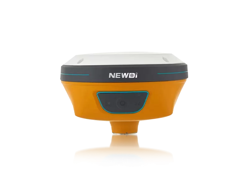
Operating in open-pit or underground extraction sites presents unparalleled topographical challenges. Project managers and site engineers constantly battle dust, extreme weather, and unpredictable terrain, which can compromise the accuracy of critical spatial data. When site safety and material volume calculations depend on millimeter-level precision, standard tools simply cannot survive the environment. The challenge lies in finding ruggedized, highly reliable systems that eliminate workflow interruptions without introducing steep learning curves.
Shanghai Newdi Navigation Technology Co., Ltd. was established in 2016 with a distinct mission: to make surveying easier, even in the most unforgiving environments. By investing 10% of our annual revenue directly into research and development, we have engineered mine surveying equipment that actively solves on-site pain points. Backed by an ISO 9001 certified production facility capable of outputting 1,000 sets per month, our solutions undergo rigorous pre-production and pre-shipment inspections. This commitment to quality ensures that every GNSS receiver and IMU system arriving at your site is primed to perform flawlessly out of the box.
Achieving technical supremacy in extractive industries requires more than just basic positioning. It demands an ecosystem of hardware designed to withstand mechanical shock while delivering continuous spatial data. Our hardware architecture—including flagship innovations like the N10 IMU & Visual GNSS Receiver—integrates advanced tilt sensors and visual tracking technologies to push the boundaries of what field instruments can achieve.
| Performance Metric | Industry Significance | Our Engineering Standard | Advantage |
|---|---|---|---|
| Environmental Protection | Dust, mud, and water ingress cause catastrophic hardware failures on mining sites. | IP67 / IP68 Ruggedness Certification | Guarantees zero downtime and prolonged hardware lifespan in severe open-pit or underground conditions. |
| Positional Accuracy | Crucial for exact blast hole mapping, slope monitoring, and grade guidance. | High-Precision RTK Positioning & Visual GNSS | Delivers reliable, sub-centimeter topographic mapping, eliminating costly rework and manual recalibrations. |
| Dynamic Compensation | Uneven ground makes maintaining a perfectly level pole impossible for operators. | Advanced IMU & Tilt Sensor Integration | Allows operators to capture highly accurate points without leveling the pole, drastically increasing daily point collection speed. |
| Quality Control & Scalability | Large-scale operations require consistent, fleet-wide reliability. | ISO 9001 Certified, 1000 Sets/Month Capacity | Ensures rapid fleet deployment with standardized, extensively tested hardware for global mining operations. |
Financial leaders in the extraction sector understand that hardware procurement is not merely an expense, but a strategic investment in operational continuity. Utilizing specialized mine surveying equipment directly impacts the bottom line by accelerating grading guidance processes—such as those streamlined by our UES500 Grade Guidance System for excavators. Furthermore, with a robust distribution network spanning over 10 countries and dedicated branch offices providing local technical support in the USA, Dubai, India, and South Africa, your operations are safeguarded against extended downtime.
By transitioning to high-durability, highly automated spatial mapping tools, extraction sites observe a compounding return on investment. The reduction in manual measurement errors combined with the longevity of IP68-rated instruments translates directly into measurable financial gains over the lifecycle of a project.
Related products
Top Selling Products