
3D Excavate Guidance System
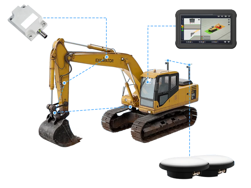
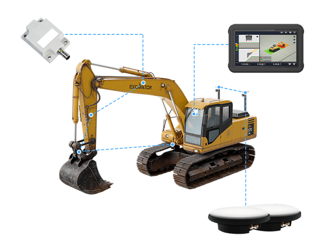
HIGH ACCURACY SYSTEM EXCAVATOR GUIDANCE
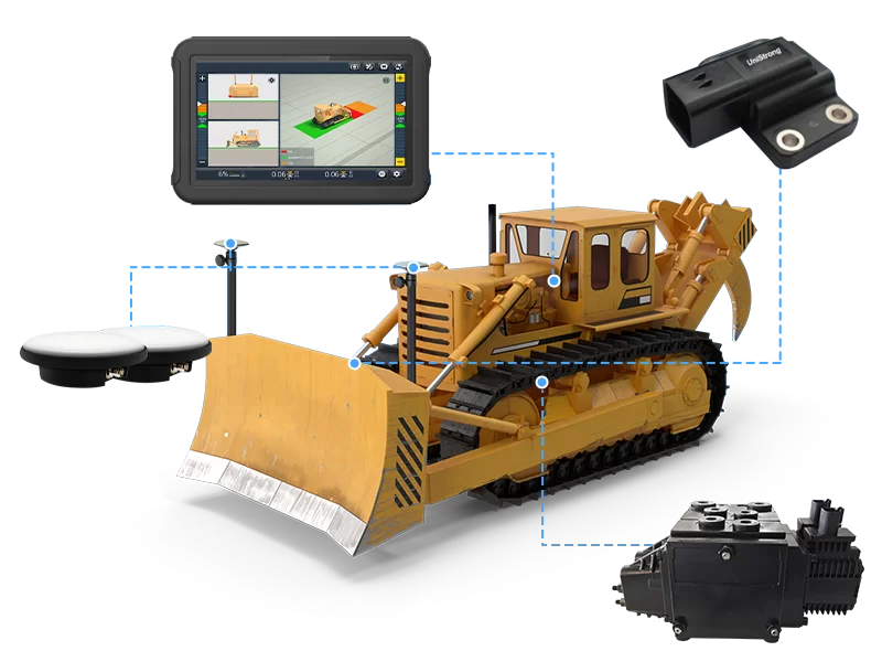
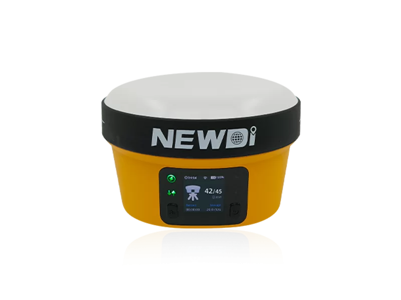
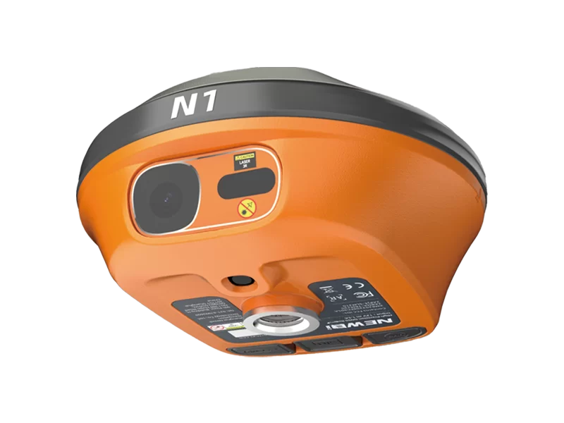
The Newdi UES500 Grade Guidance System for excavators improves the quality and efficiency of excavation operations. The high-precision dual-GNSS positioning system and tilt sensor with EX-Tech technology provide reliable 3D positioning and heading to indicate bucket position regardless of machine position. Real-time bucket guidance to the design surface achieves finished excavation accuracy in less time, increasing efficiency and productivity by eliminating the need for manual staking.
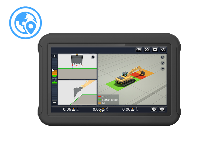
WORK SITUATION AT A GLANCE
Visualize elevation accuracy easily with colors By defining distinct colors to represent different elevations, the UES500 intuitively displays the accuracy of the project after completion; it also allows to precisely identify finished and unfinished sections in areas not visible from the operator's cab. The geofencing alert can be set in advance, ensuring accuracy and safety throughout the duration of the project.
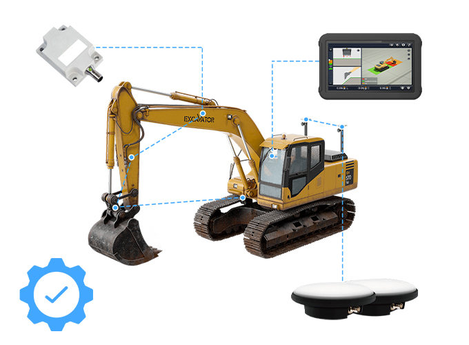
ROBUST DESIGN AND PROVEN RELIABILITY
Extended durability in construction environments The UES500's industrial design is built to withstand the harsh environment expected on construction sites. Dust and waterproof components, rugged touchscreen, and durable. The UES500 excavator guidance system makes projects more productive and completed with fewer machines, providing an even faster return on investment.
Performance Specification
Tilt Sensor
- CAN-bus communication protocol
- 10 Hz update rate
- IP67 dust and waterproof
- 10 Hz update rate
- IP67 dust and waterproof
Display Console
- 10.1" color touch screen
- Sunlight readable
- IP66 dust- and waterproof
- CAN Bus + RS232 –
GradeNav2.0 software
- EX-Tech technology
- Sunlight readable
- IP66 dust- and waterproof
- CAN Bus + RS232 –
GradeNav2.0 software
- EX-Tech technology