Operating in harsh, unpredictable environments requires more than just standard machinery; it demands absolute precision. For operations requiring extensive geographical data mapping, achieving millimeter-level accuracy while navigating rugged terrain is a primary hurdle. Equipment failures, signal drops, and poor guidance systems on heavy vehicles can lead to costly operational delays, compromised data integrity, and skyrocketing project overheads. Survey professionals and project managers constantly battle against these inefficiencies, seeking a partner capable of delivering resilient, high-grade technological integration.
The Solution: Since 2016, Shanghai Newdi Navigation Technology Co., Ltd. has operated with a singular mission—to make surveys easier. By integrating advanced GNSS technology, we transform standard vehicles and operations into highly precise mapping assets.
We understand that whether you are equipping a fleet or procuring advanced systems, you need a robust partner. As a globally recognized manufacturer, our commitment to excellence is backed by a professional sales and support team averaging over five years of specialized experience. By continually investing 10% of our annual revenue directly into research and development, we ensure that our high-precision surveying and mapping instruments conquer the complex demands of the construction, marine, and UAV industries worldwide.
Precision engineering is the backbone of any successful field operation. To guarantee unparalleled performance, stringent quality control and cutting-edge innovation must be applied to every piece of hardware. Our production facilities proudly hold the ISO 9001 certification, ensuring that from pre-production sampling to final pre-shipment inspections, our monthly output of approximately 1,000 sets meets the highest global tolerances.
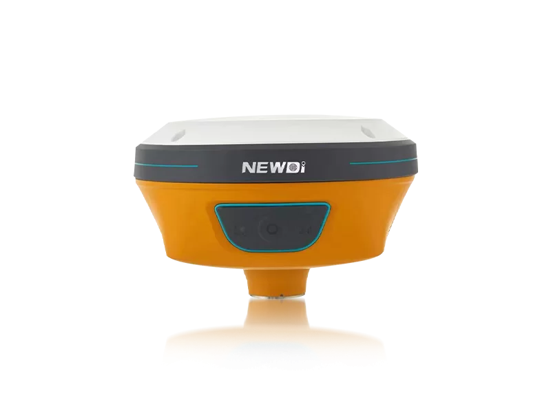
Our sophisticated product lineup, including the N10 IMU & Visual GNSS Receiver and the UES500 Grade Guidance System for excavators, defines the benchmark for rugged precision. Below is a breakdown of the specific performance standards that make our technology indispensable.
| Performance Metric | Industry Significance | Our Engineering Standard | Advantage |
|---|---|---|---|
| Environmental Resilience | Equipment must survive dust, mud, and heavy rainfall without failure. | IP67/IP68 ruggedness ratings across core receivers. | Zero downtime due to environmental ingress during critical field ops. |
| Positioning Accuracy | Seismic and land surveys require pinpoint spatial data acquisition. | High-precision RTK positioning with integrated IMU and tilt sensors. | Maintains sub-centimeter accuracy even in challenging topographies. |
| Automated Control | Reduces operator fatigue and eliminates manual driving errors. | NG3A Automated Steering System integration. | Maximizes path efficiency and ensures consistent survey lane tracking. |
| Quality Assurance | Prevents receiving defective equipment that delays projects. | ISO 9001 certified with strict pre-production and final inspections. | Unwavering reliability and out-of-the-box readiness for every unit. |
Long-term financial success in land mapping and surveying is directly tied to equipment uptime and data acquisition speed. By leveraging an expansive global network that covers over 10 countries—including dedicated branch offices in the USA, Dubai, India, and South Africa—we ensure that localized technical support is always within reach. This global footprint, combined with our dominance in Southeast Asian, African, and South American markets, drastically reduces maintenance delays.
Investing in industry-leading technology such as our newly launched C5 GNSS Receiver and TD63 Development Kit translates into measurable financial gains. High-precision guidance reduces fuel consumption, minimizes overlapping survey paths, and significantly accelerates project completion times. The visualization below illustrates the projected performance advantages of utilizing our advanced GNSS-integrated systems compared to traditional surveying methods.
Related products
Top Selling Products