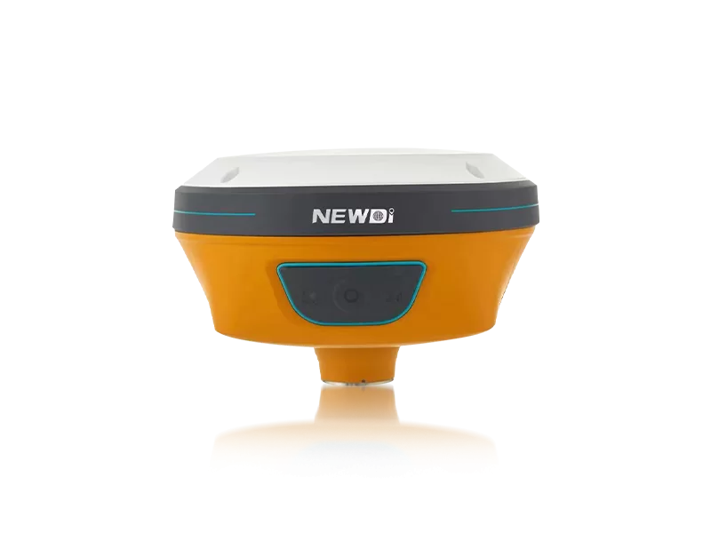
Professionals conducting mapping operations over complex water bodies constantly battle harsh weather, corrosive marine environments, and signal instability. When analyzing groundwater systems or plotting underwater topographies, equipment failure is not just a minor inconvenience—it leads to critical data loss, catastrophic project delays, and severe budget overruns. The key to mitigating these maritime risks lies in deploying highly robust, precision-engineered tools designed specifically for aquatic conditions.
Since our establishment in 2016, Shanghai Newdi Navigation Technology Co., Ltd. has made it our core mission to make surveying fundamentally easier, specifically across the highly demanding marine and land sectors. Recognizing the unique challenges of hydrographic data collection, we systematically invest 10% of our annual revenue into deep research and development. This allows us to deliver advanced GNSS systems and positioning tools that directly address the pain points of aquatic surveying. Backed by a professional sales and technical team with an average of 5 years of specialized experience, we ensure that your crews can capture sub-meter data effortlessly, regardless of environmental volatility.
Achieving millimeter-level accuracy over dynamic water surfaces requires technology that transcends standard consumer-grade mapping tools. For marine and hydrogeological applications, hardware must survive constant moisture exposure while processing complex spatial algorithms without interruption. Below is the technical breakdown of how our advanced instrument lineup—including systems equipped with tilt sensors and advanced IMU technologies—meets the rigorous demands of the global marine mapping industry.
| Performance Metric | Industry Significance | Our Engineering Standard | Operational Advantage |
|---|---|---|---|
| Environmental Protection | Consistent water and dust resistance is non-negotiable for marine surveys. | IP67/IP68 Ruggedness | Maximum durability and zero water ingress in volatile hydrogeological conditions. |
| Positioning Accuracy | Exact bathymetric plotting requires compensation for vessel sway and wave motion. | High-Precision RTK Positioning & Tilt Sensors | Sub-centimeter reliability and auto-correction even in dynamic marine environments. |
| Quality Assurance | Prevents critical hardware failure during deep-water deployments. | ISO 9001 Certified & Strict Final Inspection | Guaranteed 100% operational readiness upon deployment with extensive pre-production sampling. |
| Production Scalability | Meeting sudden global project demands and outfitting entire surveying fleets on time. | 1,000 Sets per Month Production Capacity | Rapid fulfillment and immediate availability for large-scale maritime operations. |
Strategic deployment of advanced mapping technology directly correlates to your project's long-term financial viability. Time spent waiting for replacement parts or struggling with signal loss translates directly into wasted capital. By leveraging equipment from a globally recognized manufacturer, organizations instantly eliminate costly project downtimes and increase daily mapping coverage.
Our robust global distribution network currently spans over 10 countries, featuring dedicated branch offices in the USA, Dubai, India, and South Africa. This infrastructure guarantees that whether you are conducting surveys in Southeast Asia, Africa, or South America, expert local technical support is readily available. This unmatched combination of global reach, significant R&D reinvestment, and industrial-grade manufacturing ensures that your capital investment in marine surveying tools yields maximum efficiency and profitability.
Related products
Top Selling Products