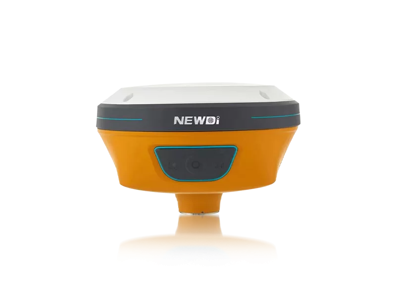
Navigating complex topographical environments presents significant hurdles for land surveyors, construction managers, and marine operators. Signal obstructions, magnetic interference, and challenging terrain can turn a straightforward mapping task into a costly, time-consuming ordeal. Relying on outdated equipment inevitably leads to project delays, compromised data integrity, and operational bottlenecks that erode profit margins.
Adopting advanced positioning technology is the definitive answer to these field challenges. By integrating high-precision RTK capabilities alongside visual tracking modules, operators gain unprecedented situational awareness and millimeter-level accuracy. Since 2016, our engineering teams have been dedicated to a singular mission: to make surveying easier. We produce up to 1,000 advanced GNSS systems per month, empowering global UAV, marine, and construction industries to overcome environmental limitations.
With an unwavering focus on quality, our solutions are rigorously tested through strict pre-production sampling and comprehensive final inspections. This ISO 9001 certified manufacturing process guarantees that every system deployed into the field—whether in Southeast Asia, Africa, or South America—performs flawlessly under pressure.
Precision requires uncompromising technical discipline. To ensure our mapping instruments meet the intense demands of modern fieldwork, we allocate 10% of our annual revenue directly into Research and Development. This continuous investment translates into highly sophisticated, ruggedized equipment designed for the harshest conditions.
The benchmarking of these systems is critical for field professionals who cannot afford downtime. Below is a detailed breakdown of how our technical architectures compare against foundational industry demands.
| Performance Metric | Industry Significance | Our Engineering Standard | Advantage |
|---|---|---|---|
| Visual & Inertial Navigation | Crucial for environments with obstructed skies or dynamic movement. | N10 IMU & Visual GNSS Receiver | Eliminates magnetic interference and provides seamless visual positioning, capturing difficult-to-reach points. |
| Environmental Resilience | Prevents hardware failure during harsh weather or marine operations. | IP67 / IP68 Rating | Delivers complete protection against dust ingress and continuous water immersion. |
| Automated Precision | Reduces human error in agricultural and excavation tasks. | NG3A Steering & UES500 Guidance | Automates complex grading and steering tasks, drastically improving project speed and accuracy. |
| Quality Assurance | Ensures fleet consistency and minimizes operational downtime. | ISO 9001 Certification | Guarantees that all 1,000 monthly units undergo strict pre-production and final shipment inspections. |
Long-term financial gain in the surveying sector is directly tied to equipment reliability and operational speed. Investing in cutting-edge positioning hardware reduces man-hours, minimizes rework, and allows teams to scale their project capacities. Through innovations like the recently launched C5 GNSS Receiver and the NEW TD63 Development Kit—showcased at premier global exhibitions like Intergeo and FIGAN—we ensure our partners stay ahead of the technological curve.
Furthermore, technology is only as valuable as the support network behind it. With a distribution network spanning over 10 countries and localized technical support offices in the USA, Dubai, India, and South Africa, our clients experience minimal downtime. A dedicated professional sales team, boasting an average of 5 years of specialized experience, provides strategic guidance to ensure that your equipment investments yield rapid and sustainable returns.
Related products
Top Selling Products